Beltrami County
Restoring and Preserving the Public Land Survey System
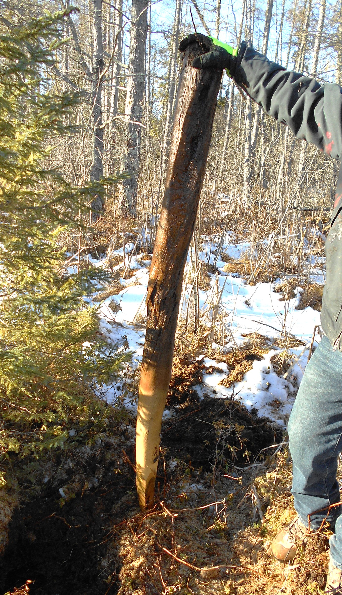
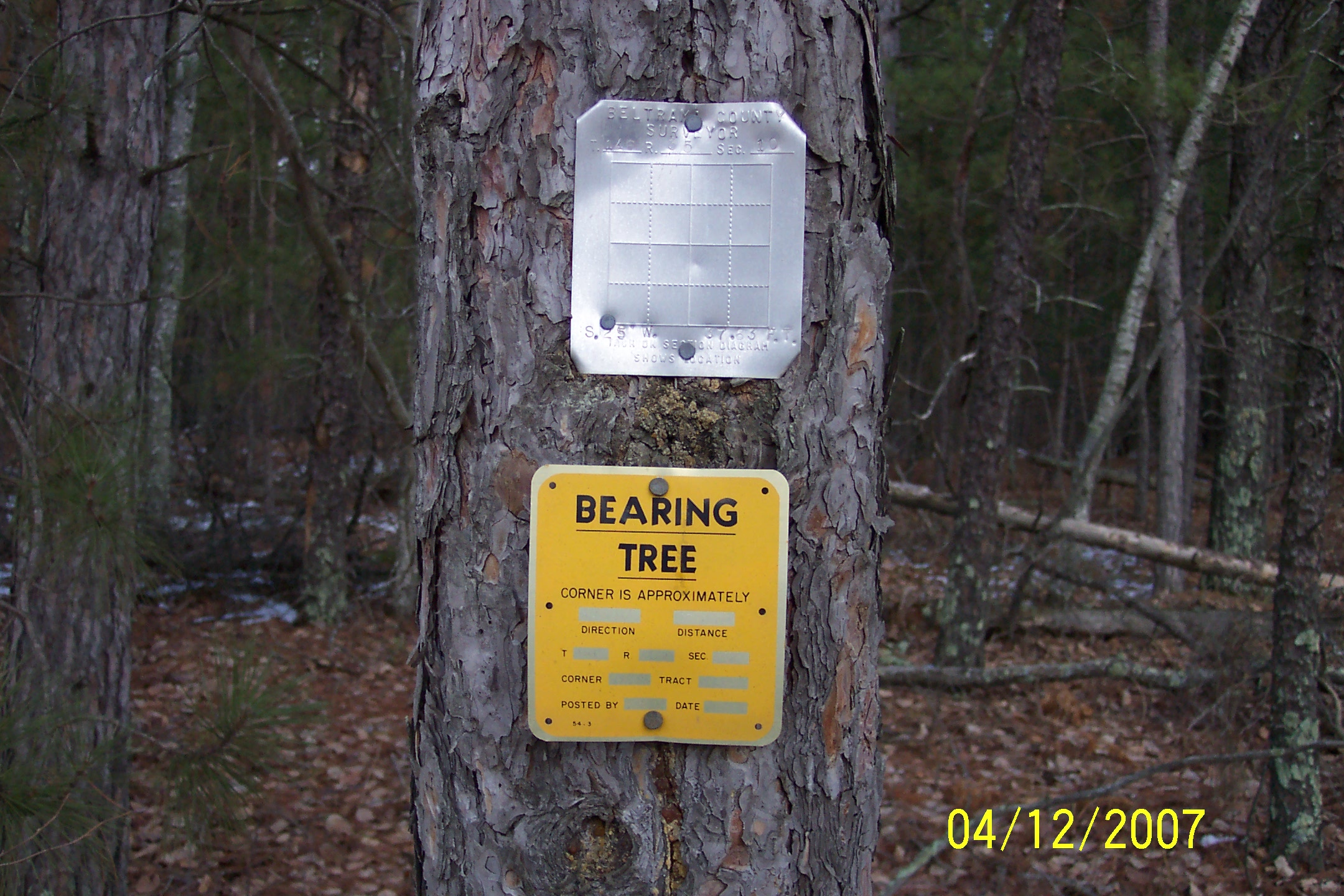
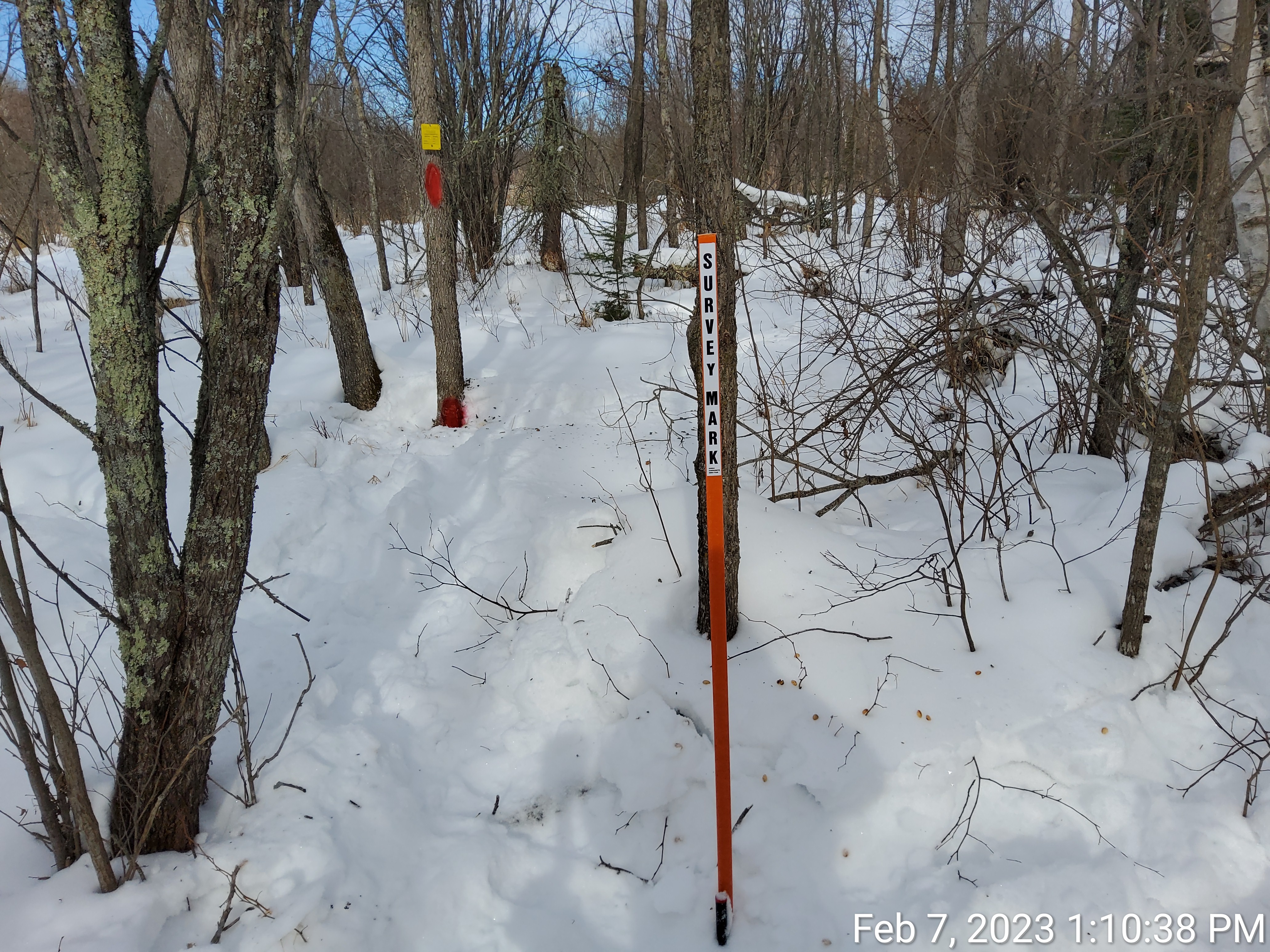
The United States Public Land Survey System (PLSS) is the system that divides land into a grid of townships and sections. When these townships and sections were originally laid out, wood posts were typically set to define the boundaries. These wood posts (PLS corner markers or “monuments”) thereafter were intended to control the location of the parcels and land descriptions within the sections. The purpose of corner remonumentation is to perpetuate or reestablish the original PLS corner markers in their original locations and then preserve those locations by documenting what was done.
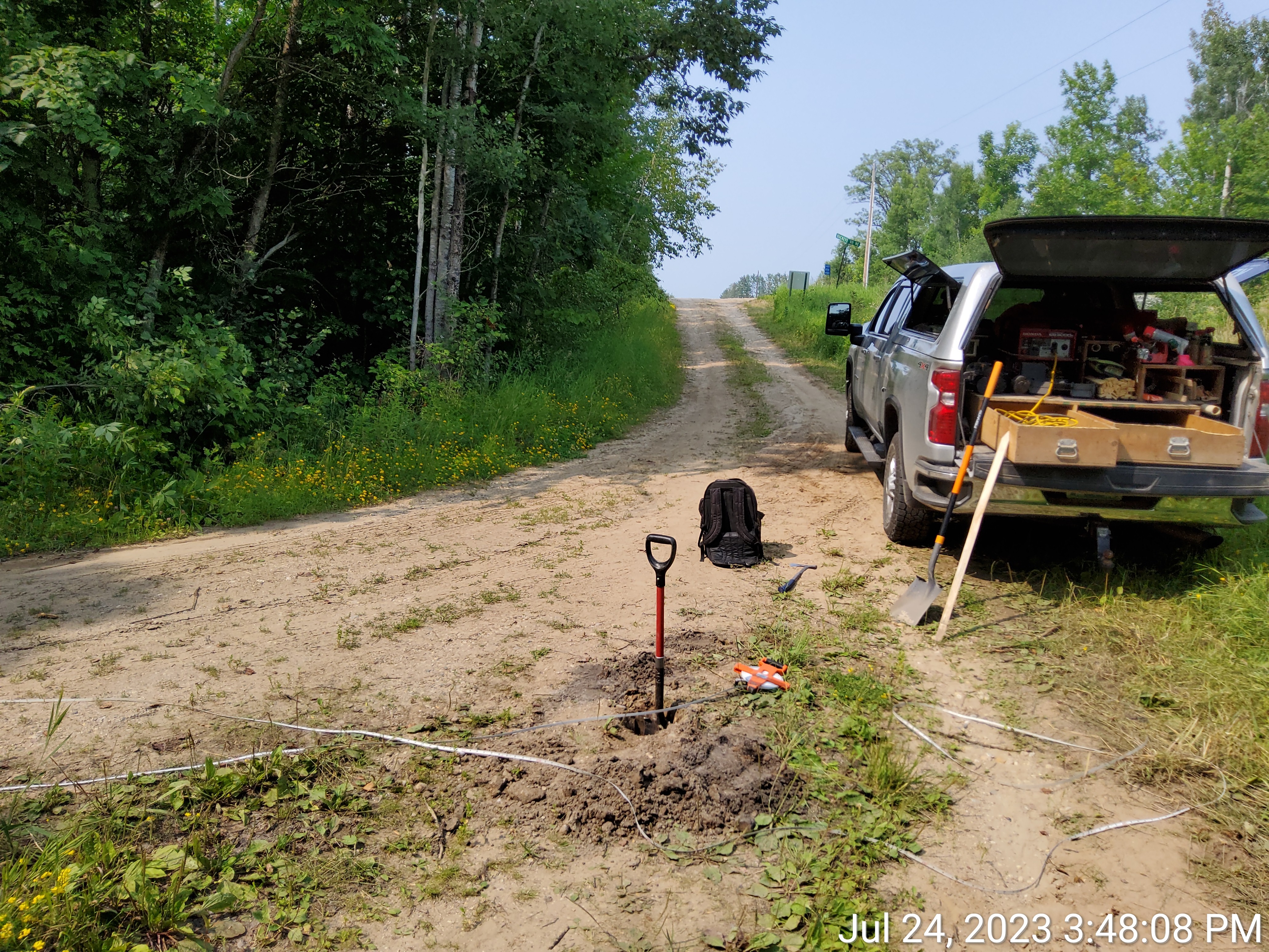
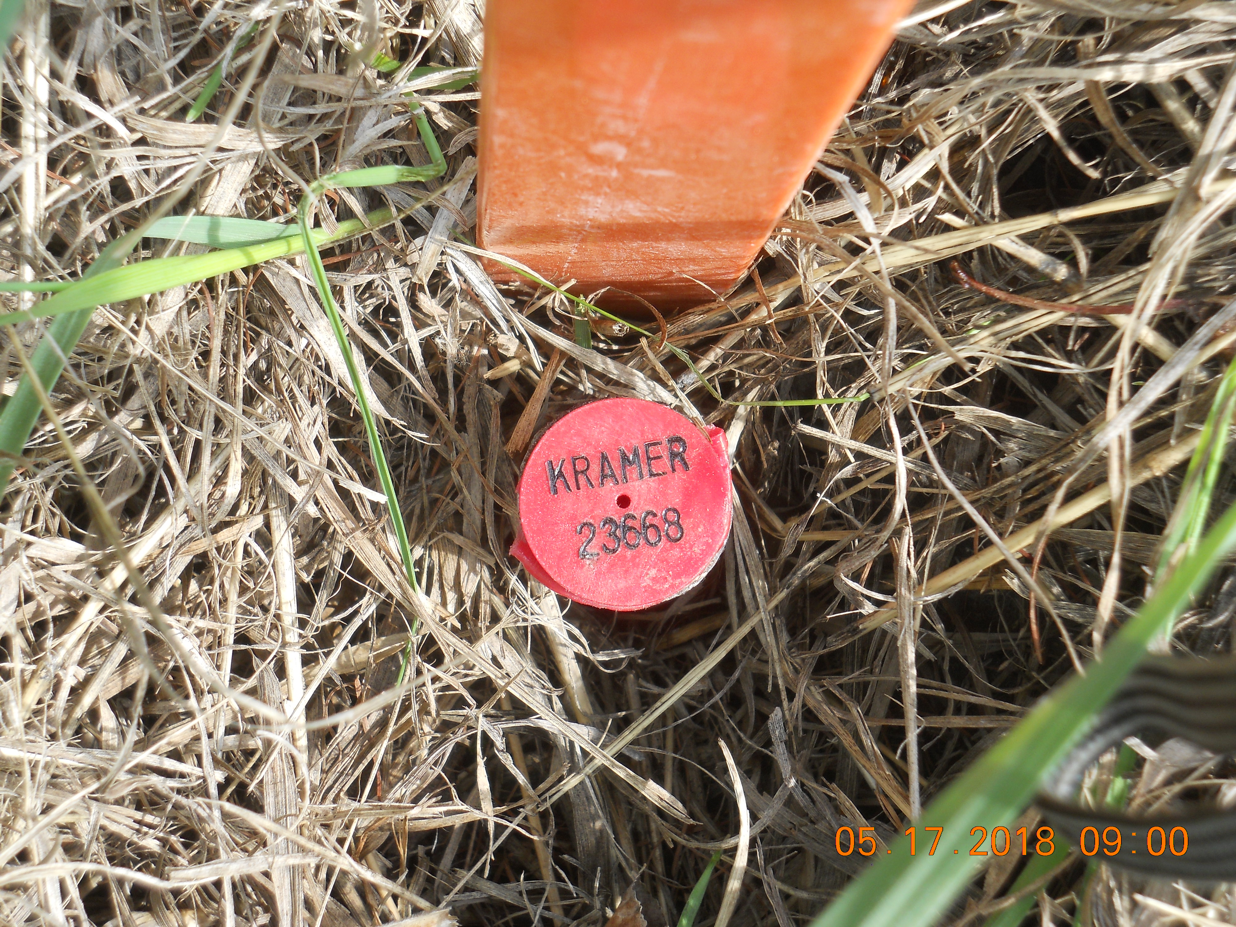
In Beltrami County, some corner locations have been revisited by land surveyors many times throughout our county's history and the positions of the monuments have been well-preserved and documented. Other corner locations have no evidence that any land surveyor has been there since the original monument was placed. When that happens, it’s unlikely that a land surveyor today will find a 150-year-old piece of wood sticking out of the ground. If they’re unable to locate any reliable evidence of an original monument or bearing trees or other reference ties, the land surveyor needs to make some decisions about how best to reestablish the corner position. In many cases, this is done by a combination of historical research, reading the original land surveyor’s field notes, looking at old aerial photographs, measuring from other known corner positions, examining existing lines of occupation like fences, edges of fields, or tree lines, and talking to landowners who may have multiple generations of knowledge and information about property lines in the area.
The benefits of restoring and preserving the Public Land Survey System are undeniable. It creates secure land records for future generations, reduces unnecessary litigation, makes future land surveys more accurate and reliable, and provides an accurate foundation for maps and geospatial data. Perhaps the most direct benefit of this process is the proven reduction in costs for land surveying services for property owners. A properly restored and preserved Public Land Survey System means that you don’t need to pay a land surveyor for hours of extra labor just to perform a basic survey of your property lines.


How much progress have we made?
Use the interactive map below to explore information about corner remonumentation work in the county. Green townships are completed, yellow townships are upcoming or in progress, gray townships are planned for future projects, and hollow townships are not currently planned. Click on any township to view more information.